
Weather
Large tornado touchdown in St. Louis
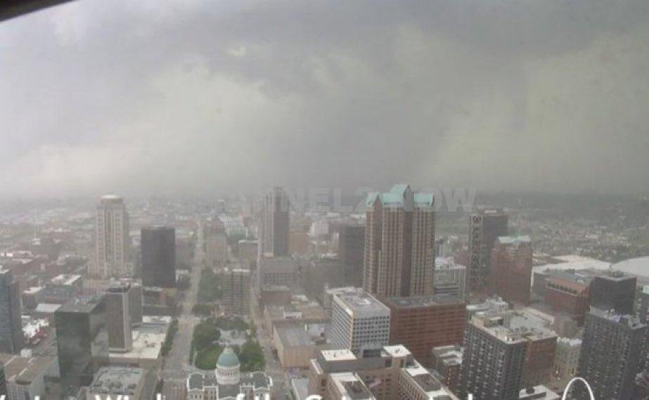
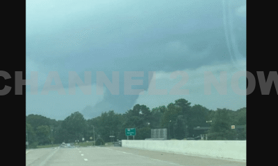
ST. LOUIS, Mo. — A large and dangerous tornado has been confirmed by the National Weather Service in the Clayton area of St. Louis County.
A Tornado Warning is currently in effect for St. Louis City, St. Louis County, and portions of the Metro East, including Granite City and Madison County, through 3:15 p.m. Friday.
Residents in affected areas are strongly urged to take immediate shelter.
The tornado is moving eastward and poses a significant threat to life and property.
In addition, meteorologists have issued multiple tornado warnings:
- St. James and Crawford County: Warning in effect through 2:30 p.m.
- Rolla and surrounding communities: A previous warning was issued through 2:00 p.m.
A Weather Impact Alert has been issued for Friday afternoon as a potent system moves through the region.
The threat window is between 1 p.m. and 7 p.m., during which storms are capable of producing:
- Tornadoes
- Baseball-sized hail
- Damaging winds
The Storm Prediction Center has elevated the St. Louis metro area to a Level 4 out of 5 risk—classified as Moderate Risk—on its severe weather scale.
This upgrade, announced Thursday afternoon, highlights the increasing confidence in the potential for widespread severe weather.
While the greatest risk may be centered in southeastern Missouri and into Illinois, severe storms remain possible across the entire region, including to the northwest.
Forecasters note that storm development remains uncertain, and interactions between multiple cells could rapidly change the situation as the afternoon progresses.
Key Reminders:
- Not everyone will experience rainfall or a tornado, but areas in the warning zones must remain alert.
- Tornado sirens and alerts may sound with little warning, so have a plan in place.
- Monitor local news, NOAA weather radio, or trusted weather apps for real-time updates.
Stay indoors, avoid windows, and move to a basement or interior room on the lowest floor of a sturdy building.
If you are outdoors or in a vehicle, seek shelter in a nearby building or lie flat in a low-lying area away from vehicles and trees if no shelter is available.


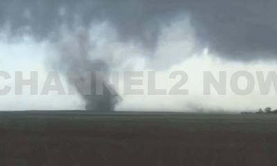


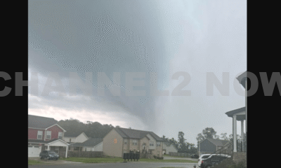


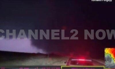

DENVER, CO — The National Weather Service (NWS) in Denver has issued a Tornado Warning for southwestern Logan County and north-central Washington County in northeastern Colorado, effective until 5:45 p.m. MDT Friday.
At 5:11 p.m., weather spotters confirmed a tornado on the ground near Merino, approximately 11 miles southwest of Sterling, moving southeast at 20 miles per hour.
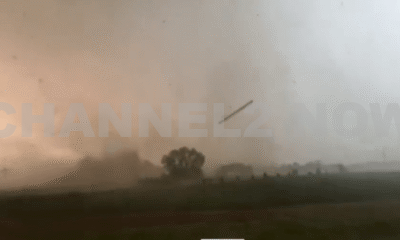
The storm system is producing a dangerous and damaging tornado, with the potential for:
- Flying debris posing serious risk to those outdoors or in vehicles
- Structural damage to homes, roofs, windows, and vehicles
- Uprooted trees and downed power lines
- Total destruction of mobile homes
Communities directly in the path of the tornado include:
- Merino
- Prewitt Reservoir
- Atwood
- Logan Corners
- Willard
- Messex
Residents in these areas should seek shelter immediately. The safest option is to move to a basement or an interior room on the lowest floor of a sturdy building, away from windows and exterior walls.
Do not attempt to outrun the tornado in a vehicle. If no shelter is available, lie flat in a low-lying area and protect your head.
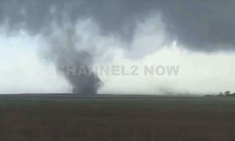
This is a confirmed tornado, not just radar-indicated. Immediate action is critical to ensuring safety.
Continue monitoring local media, NOAA weather radio, or official NWS alerts for real-time updates.