
Weather
Tornado warning issued in Corbin, Kentucky
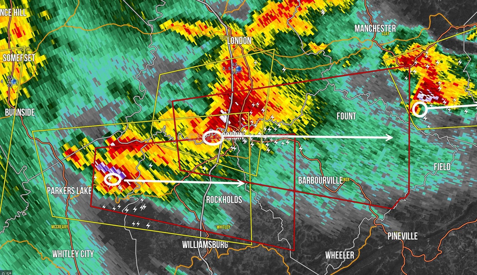
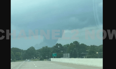
CORBIN, KY – A tornado warning has been issued for Corbin and Barbourville, Kentucky, as a dangerous supercell storm moves into the area.
The National Weather Service has confirmed an area of circulation entering Downtown Corbin, with another rotation detected southwest of the city.
If you are in Corbin, Barbourville, or surrounding areas, take cover immediately!
Tornado sirens are currently sounding in Corbin, and residents should seek immediate shelter in a basement or interior room on the lowest floor of a sturdy building.
This storm poses a serious threat to life and property.
Storm Details
- Tornado Warning in Effect: Until 7:45 PM EST
- Areas Impacted: Corbin, Barbourville, north of Williamsburg, and surrounding communities
- Current Status: A tornado-warned supercell is moving rapidly through the region
This tornado warning is just outside of some forecast areas, but residents in Corbin and southeastern Kentucky must remain alert and prepared.
Multiple tornado warnings remain active across southeastern Kentucky, including areas near Parkers Lake and Corbin.
If you have friends or family in the affected areas, contact them immediately and ensure they are seeking shelter.
For those without a safe place to take cover, a large basement is available for shelter—spread the word to those in need.
Stay safe, remain indoors, and monitor weather alerts closely. More updates will follow as the situation develops.


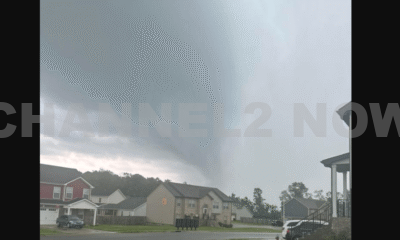


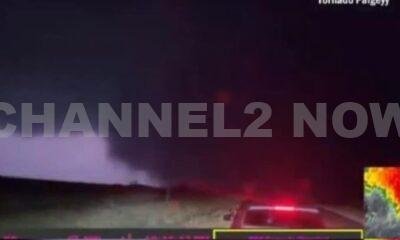


DENVER, CO — The National Weather Service (NWS) in Denver has issued a Tornado Warning for southwestern Logan County and north-central Washington County in northeastern Colorado, effective until 5:45 p.m. MDT Friday.
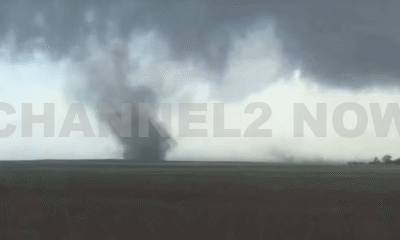
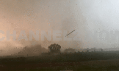
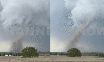
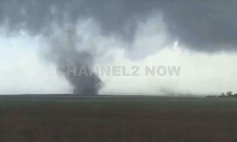
At 5:11 p.m., weather spotters confirmed a tornado on the ground near Merino, approximately 11 miles southwest of Sterling, moving southeast at 20 miles per hour.
The storm system is producing a dangerous and damaging tornado, with the potential for:
- Flying debris posing serious risk to those outdoors or in vehicles
- Structural damage to homes, roofs, windows, and vehicles
- Uprooted trees and downed power lines
- Total destruction of mobile homes
Communities directly in the path of the tornado include:
- Merino
- Prewitt Reservoir
- Atwood
- Logan Corners
- Willard
- Messex
Residents in these areas should seek shelter immediately. The safest option is to move to a basement or an interior room on the lowest floor of a sturdy building, away from windows and exterior walls.
Do not attempt to outrun the tornado in a vehicle. If no shelter is available, lie flat in a low-lying area and protect your head.
This is a confirmed tornado, not just radar-indicated. Immediate action is critical to ensuring safety.
Continue monitoring local media, NOAA weather radio, or official NWS alerts for real-time updates.